 |
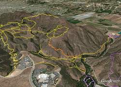
Google Earth image of the Conejo Canyons / Western Plateau area, looking north-west. Trails are yellow; the area we worked is orange. Purple trails are in Wildwood. The new bridge is indicated at the right side. The Santa Rosa Valley is at the top.
|
|
 |
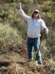
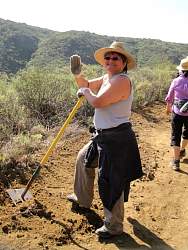
Carrying a rock for a barricade we were making to keep the 4x4 vehicles out
|
|
|
|
|
|
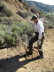 |
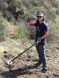
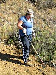
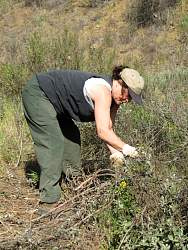
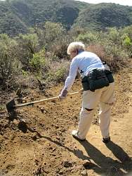
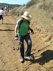
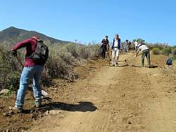
Most of the work was knocking down berms...
|
|
 |
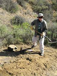
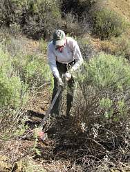
... and constructing channels to direct rainwater off the road.
|
|
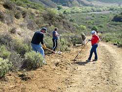 |
Water running down the road makes ruts that take a lot of work to repair, so we want to get as much rainwater off the road as quickly as possible.
|
|
|
|
|
|
|
|
|
|
|
|
|
|
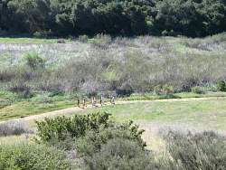 |
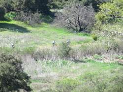
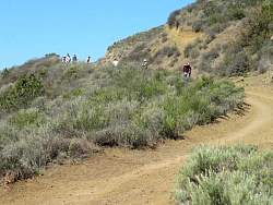
We saw many many high school kids running. This was a small group of them.
|
|
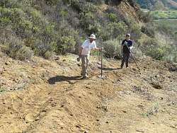 |
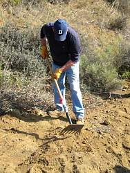
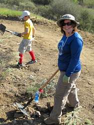
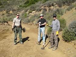
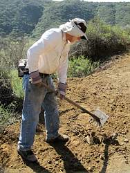
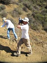
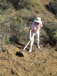
Building a shallow dip followed by a low hump to channel water to a ditch at the side of the road
|
|
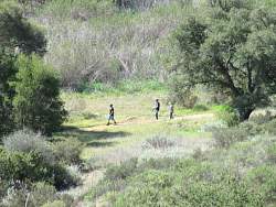 |
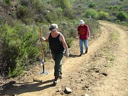
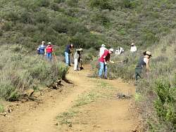
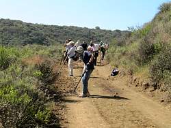
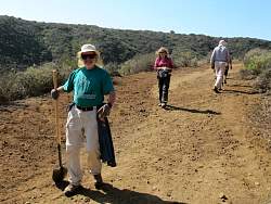
More people out enjoying the trails in the area
|
|
|
|
|
|
|
|
|
|
|
|
|
|
|